


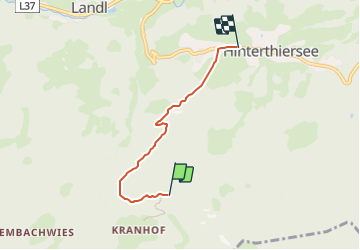

3,9 km | 11 km-effort


Tous les sentiers balisés d’Europe GUIDE+


Kostenlosegpshiking-Anwendung
 SityTrail
IGN / Geografische Institute
SityTrail World
Die Welt öffnet sich für Sie
Tour Zu Fuß von 3,7 km verfügbar auf Tirol, Bezirk Kufstein, Gemeinde Thiersee. Diese Tour wird von SityTrail - itinéraires balisés pédestres vorgeschlagen.
Trail created by Lauf- und Walking Kompetenzzentrum Kufstein.
Symbol: Gelbe Blechschilder mit weißem Richtungspfeil und orangem Balken am unteren Rand.

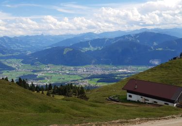
Zu Fuß
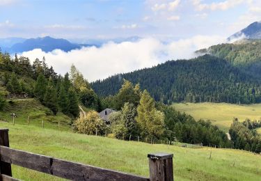
Wandern
Wandern

Zu Fuß